The Pointscene DiariesinThe Pointscene DiariesBringing Reality Capture into BIMThe role of point clouds in Building Information Modelling4 min read·Jan 4, 2019----
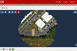
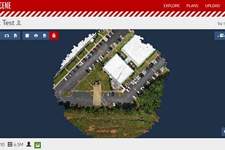
The Pointscene DiariesinThe Pointscene DiariesNew trend in point cloud managementA look into online hosting services2 min read·Nov 1, 2018----
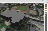
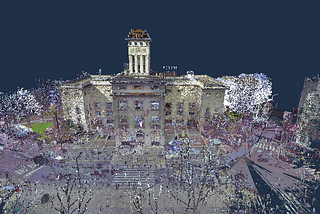
The Pointscene DiariesinThe Pointscene DiariesCityGML and 3D data in QGISCreate and display 3D buildings in QGIS5 min read·Sep 11, 2018--1--1
The Pointscene DiariesinThe Pointscene DiariesThe easiest way to create GIS web appUse Web AppBuilder for ArcGIS and make customised apps4 min read·Jul 9, 2018----
The Pointscene DiariesinThe Pointscene DiariesGeoreferencing in Global MapperOpen vs closed source GIS applications3 min read·Jun 25, 2018----
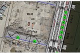
The Pointscene DiariesinThe Pointscene DiariesHow to georeference a construction site map-tutorialGeoreferencing in QGIS using known coordinates5 min read·Jun 4, 2018--1--1
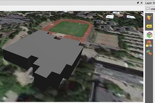
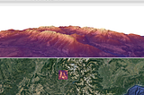
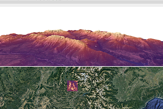
The Pointscene DiariesinThe Pointscene DiariesNew QGIS and 3D visualisationDiscover 3D maps in QGIS5 min read·May 21, 2018--1--1
The Pointscene DiariesinThe Pointscene DiariesThe most interesting drone applications8 uses of drones you didn’t know about4 min read·May 5, 2018----
The Pointscene DiariesinThe Pointscene DiariesHow to choose the best drone mapping softwareConsider these 8 points4 min read·Apr 30, 2018----
The Pointscene DiariesinThe Pointscene DiariesA guide to laser scanning in 2018Developments, trends and applications4 min read·Mar 19, 2018----