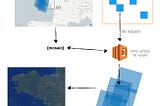
Vincent SaragoinDevelopment SeedCOG Talk 4ter — Distributed processesLast week in COG Talk 4 we discussed large scale processing using Cloud Optimized GeoTIFF and MosaicJSON. Here is another example on how…Feb 17, 2020Feb 17, 2020
Vincent SaragoFacebook’s population datasetEarlier this week in COG Talk 4 we talked about doing large scale processing using Cloud Optimized GeoTIFF and mosaicJSON. Here is another…Feb 14, 2020Feb 14, 2020
Vincent SaragoinDevelopment SeedCOG Talk 4bis — Montreal LIDAR datasetAnother example of large scale mosaicJSONFeb 12, 2020Feb 12, 2020
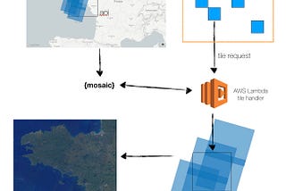
Vincent SaragoinDevelopment SeedCOG Talk — Part 4: Enabling Spatio-temporal data processing at scaleThis blog is the fourth in a series called COG Talk, which looks at ways to use Cloud Optimized GeoTIFFs to efficiently render and analyze…Feb 10, 2020Feb 10, 2020
Vincent SaragoinDevelopment SeedCOG Talk — Part 3: Translate COG to Mapbox Vector TilesCreating Mapbox Vector Tiles from COGs dynamicallyJun 24, 2019Jun 24, 2019
Vincent SaragoinDevelopment SeedCOG Talk — Part 2: MosaicsThis blog is the second in a series called COG Talk, which looks at ways to use Cloud Optimized GeoTIFF, and why we use them.May 23, 20192May 23, 20192
Vincent SaragoinDevelopment SeedCOG Talk — Part 1: What’s new?This blog is the first in a series called COG Talk which looks at ways to use Cloud Optimized GeoTIFF, and why we use them.May 3, 20192May 3, 20192
Vincent SaragoDo you really want people using your data ?Note: This post was originally called: `The Ultimate data format`Nov 19, 2018Nov 19, 2018