TommyGeoreferencing High Resolution Raster from Vector PDF using QGIS and GDALRecently I am working for a project that requires georeferencing site plan vector PDF and export as high resolution raster (GeoTIFF /…Jun 20, 2022Jun 20, 2022
TommyCopy and Paste Georeference Data using GDALRecently I am working for a project that requires “copy & paste” georeference data of between identical raster file, varying format (TIFF…Jun 18, 2022Jun 18, 2022
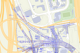
TommyVisualization of HK 3D Pedestrian Network Data with deck.glHK Gov Lands Department released 3D Pedestrian Network (3DPN) data to public, which the dataset is very useful for pedestrian navigation…May 17, 2022May 17, 2022
TommyExtract Drone Photos Exif Data to JSON using ExifTool and PythonI had lots of drone photo, and I want to visualize the geolocation record (latitude, longitude, altitude) and orientation in map. These…May 7, 2022May 7, 2022
TommyVisualize Drone Photos Location and Orientation in deck.glExif data inside drone photos provides plenty of information, including location, altitude and rotation angles, which it helps indexing /…May 6, 2022May 6, 2022
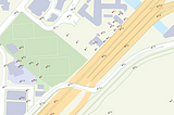
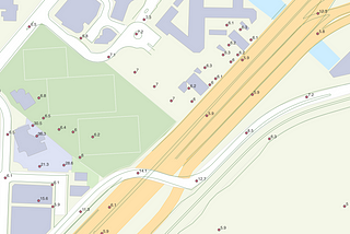
TommyGenerate XYZ Tiles in QGIS and Serve on the InternetPreviously I mentioned the performance bottleneck in leaflet.js imageOverlay. So I had georeferenced the images and, in this article I will…May 4, 20222May 4, 20222
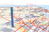
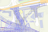
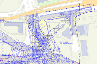
TommyGeoreferencing for HK Constructions Plan using QGISI am interested in HK infrastructures development since I live in HK, I did read plan documents a lot and really enjoy it!May 4, 20222May 4, 20222
TommyHK Spot Height Data: From GML to GeoJSONLandsD provides plenty of information in their digital map, which is not released in Geoinfo Map or explicitly in open data. You may read…May 4, 2022May 4, 2022
TommyPathfinding API from HK Transport DepartmentTransport Department recently released “TRAFFIC DATA FROM TRAFFIC DATA ANALYTICS SYSTEM” API. The API is quite easy to use, simply…May 3, 2022May 3, 2022
TommyPathfinding Visualization using FoliumPreviously, I used lxml and networkX to building simple pathfinding solution from HK road network data. Since I use Jupyter Lab in the…May 3, 2022May 3, 2022