PinnedEzgi TukelinTowards DevMonitoring Air Pollution with Google Earth EngineHello everyone! I am continuing to use different GIS tools for spatial analysis and remote sensing studies.May 26, 2022May 26, 2022
PinnedEzgi TukelinTowards DevSpatial analysis of Istanbul Airbnb dataset using GeoPandasA practical guide to visualizing Airbnb dataDec 23, 20212Dec 23, 20212
Ezgi TukelinTowards DevCreating Burn Severity Map using Landsat-8Hi everyone,In this article, I tried to map the severity of forest fires in Turkey in the summer of 2021 using remote sensing, and I chose…Jun 23, 2022Jun 23, 2022
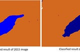
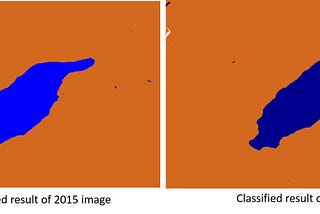
Ezgi TukelNDWI Analysis lake of Salda using MapInfo Pro 17.0Hello there. Geographic Information Systems (GIS) has different tools to apply such as ArcGIS, QGIS, Mapinfo, GRASS etc. As much as I can…Feb 24, 2022Feb 24, 2022
Ezgi TukelNDVI displaying using Landsat images in Google Earth EngineNormalized Difference Vegetation Index (NDVI) quantifies vegetation by measuring the difference between near-infrared (which vegetation…Jan 11, 2022Jan 11, 2022
Ezgi TukelMean distance to the nearest Walmart in the USADistances can found using by Statistics Toolset in the ArcGIS Software. This dataset consists of Walmart stores as a point locations in…Apr 19, 2020Apr 19, 2020
Ezgi TukelCost Distance Analysis using ArcGIS Distance ToolsetDistance Toolset can be used to calculate cost from place to place. Many variable effects to cost such as; land-use, slope, etc.Apr 4, 2020Apr 4, 2020