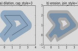
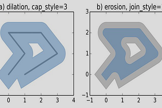
PinnedGamze Ç.Spatial Data Analysis: ShapelyI introduce the python shapely library for manipulating polygons.Dec 4, 2023Dec 4, 2023
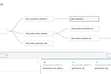
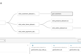
Gamze Ç.Getting Started with Google Looker StudioLooker Studio was originally named Google Data Studio, and it is essentially a free cloud-based tool to visualize your data using a variety…Jul 9Jul 9
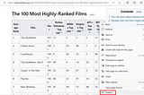
Gamze Ç.Web Scraping Tables using PandasThe Pandas library in Python contains a function read_html() that can be used to extract tabular information from any web page.Jul 9Jul 9
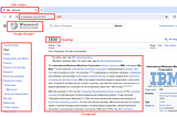
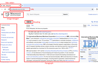
Gamze Ç.Web Scraping and HTML BasicsWeb scraping, also known as web harvesting or web data extraction, is the process of extracting information from websites or web pages. It…Jul 91Jul 91
Gamze Ç.inCodeXWeb Scraping and Extracting Data Using APIsWeb scraping is used for extraction of relevant data from web pages. If you require some data from a web page in a public domain, web…Jul 31Jul 31
Gamze Ç.Joins, Relationship and Blending in TableauThese terms will not only help you in Tableau, but in other software like SQL, My SQL, PostgreSQL, basically any relational database or…May 17May 17
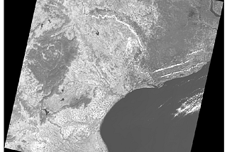
Gamze Ç.Calculating Satellite Image Cloud CoverSatellite imagery offers invaluable insights into Earth’s landscapes and features. It serves diverse applications, including Python and…May 11May 11