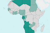
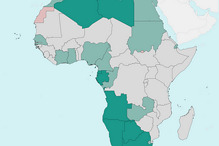
InTDS ArchivebyXiao WangPlot choropleth maps with shapefiles using GeopandasChoropleth maps are useful and powerful visualisations which present data by areas or regions that colored or patterned according to the…Mar 18, 2021Mar 18, 2021
Josh GracieGeoJSON in Google Maps APIThe other day, I was working on a side project involving some GIS data. I was specifically working with parcel lines (property lines) which…Mar 18, 2024Mar 18, 2024
InLevel Up CodingbyJohn Loewen, PhDPretty Maps: A Surprisingly Useful Way To Better Your Streamlit SkillsA Python streamlit tutorial on creating beautiful maps with the prettymapp libraryMay 16, 20242May 16, 20242
InTDS ArchivebyVinícius HectorPython + Google Earth EngineHow to clean MapBiomas LULC rasters for any shapefile in BrazilJul 10, 20242Jul 10, 20242
PETER NDIRITU THUKU15 Essential Geospatial Python LibrariesWith the explosion of map-based websites and spatially-aware devices and applications, geospatial development is becoming increasingly…Apr 14, 20242Apr 14, 20242
InTDS ArchivebyBen ChambleeThe Language of Maps: A Guide to Geospatial Data Formats and CoordinatesFrom GeoJSON to UTM, these tools help map the world!Jan 17, 20243Jan 17, 20243
Milan JanosovThe Geospatial Data Science Stack in 2023I just finished the #30DayMapChallenge, which was the perfect task to overview the tools I use the most as a geospatial data scientist.Dec 2, 20239Dec 2, 20239
InTDS ArchivebyAlan JonesHow to Create a Simple GIS Map with Plotly and StreamlitPlotly map functions combined with Streamlit user interface components provide a way of creating GIS-style dashboardsDec 22, 2023Dec 22, 2023
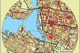
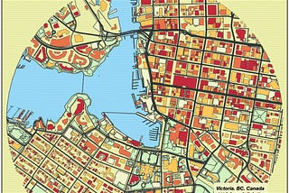
InTDS ArchivebyOscar LeoMatplotlib Tutorial: Let’s Take Your Country Maps to Another LevelHow to draw beautiful maps with Python and MatplotlibSep 24, 20235Sep 24, 20235