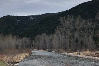
Perry JohnsoninTowards Data ScienceDeploying a Deep Learning API for Tagging Trout SpeciesA full-stack Deep Learning Research Project for Identifying Trout Species & MoreMay 5, 2020May 5, 2020
Perry JohnsoninTowards Data ScienceHow Machine Learning Can Lower The Search Cost For Finding Better HikesAn Intelligent Recommendation Engine for Finding Better HikesJul 9, 2019Jul 9, 2019
Perry JohnsoninTowards Data ScienceReverse Engineering the Walk Score AlgorithmUsing Machine Learning to Build a Location Based Walkability ScoreMay 29, 20191May 29, 20191
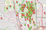
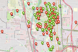
Perry JohnsoninTowards Data ScienceA Bird’s Eye View: How Machine Learning Can Help You Charge Your E-ScootersA full-stack machine learning web application that makes location recommendations via geospatial clusteringMay 7, 20191May 7, 20191