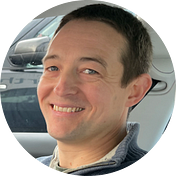
Full stack data scientist tackling the worlds toughest challenges with AI & ML applied to satellite & aerial imagery. I have worked in a range of research and engineering roles within academia & industry. I specialise in deep learning applied to satellite & aerial imagery and am the maintainer of the satellite-image-deep-learning repository and newsletter. I have a decade of experience with the Python programming language and have expertise in cloud computing on AWS. I have appeared on podcasts including the ZenML and Mapscaping podcasts.
Robin Cole

Robin Cole
Tackling the worlds toughest challenges with AI & ML applied to satellite & aerial imagery. Learn more at https://www.satellite-image-deep-learning.com/