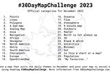
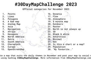
Kontur Inc.Kontur Team’s Journey in the 30DayMapChallenge 2023In 2023, the Kontur team once again rose to the challenge, embarking on one more journey in the 30DayMapChallenge initiated by Topi…Dec 18, 2023Dec 18, 2023
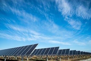
Kontur Inc.Finding Optimal Spots for Solar Farms with Kontur PlatformGeospatial analysis tool for solar farm site selection based on multiple criteria.Feb 21, 20231Feb 21, 20231
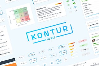
Kontur Inc.Open-Source UI Kit for Geospatial ApplicationsA collection of premade interface elements for a website or app development.Feb 16, 20231Feb 16, 20231
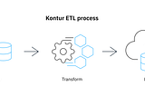
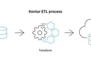
Kontur Inc.Geocint: Kontur’s data pipeline framework is now open sourceETL pipeline for processing geospatial dataJan 24, 2023Jan 24, 2023
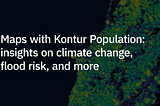
Kontur Inc.Maps with Kontur Population data reveal insights on climate change, flood risk, and moreWhat happens if you ask hundreds of mappers worldwide to visualize your data with any tools or technologies available?Dec 30, 20221Dec 30, 20221
Kontur Inc.Optimizing the Location of Waste Bins in BatumiHow Kontur developed the Waste Container Availability map.Nov 9, 2022Nov 9, 2022
Kontur Inc.Guiding the redesign of OpenAerialMap platformHow Kontur and Humanitarian OpenStreetMap Team collaborated on designing a modern and accessible platform for OpenAerialMap.Sep 28, 2022Sep 28, 2022
Kontur Inc.H3 hexagonal grid:Why do we use it for data analysis and visualization?Aug 19, 20221Aug 19, 20221
Kontur Inc.Measuring Completeness of Road Network in OpenStreetMapUsing Facebook data and Kontur Population to estimate mapping gaps in OSMAug 11, 2022Aug 11, 2022
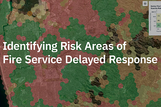
Kontur Inc.Identifying Risk Areas of Fire Service Delayed ResponseUsing open data to explore and optimize fire departments service areasJun 24, 2022Jun 24, 2022