Homepage
Open in app
Sign in
Get started
Archive
soar.earth
Tagged in
Aerial Imaging
Soar
Soar is a cutting edge mapping platform that can integrate multiple resolution imagery feeds from satellite, aerial sensors as well as crowd-sourced drone content.
More information
Followers
373
Elsewhere
More, on Medium
Aerial Imaging
Soar
in
Soar
Apr 25, 2019
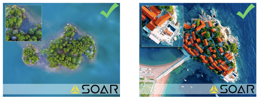
How to get your drone imagery approved onto Soar
This article presents a best-practice guideline for…
Read more…
13
Ciaran Doyle
in
Soar
Dec 10, 2018
Soar signs MOU with California-based aerial imagery provider GeoG2
Read more…
63