Homepage
Open in app
Sign in
Get started
Archive
soar.earth
Tagged in
Photogrammetry
Soar
Soar is a cutting edge mapping platform that can integrate multiple resolution imagery feeds from satellite, aerial sensors as well as crowd-sourced drone content.
More information
Followers
373
Elsewhere
More, on Medium
Photogrammetry
Darren Smith
in
Soar
Jul 31, 2018
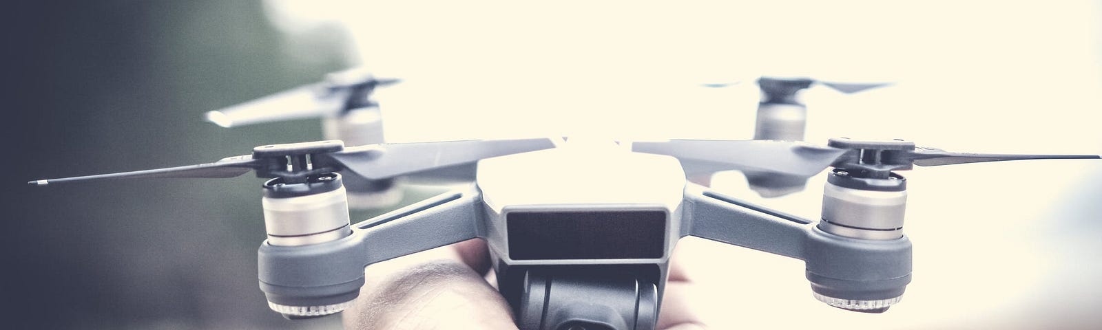
Besides photo and video, what else can I do with my drone?
Read more…
18