Homepage
Open in app
Sign in
Get started
Archive
soar.earth
Tagged in
Remote Working
Soar
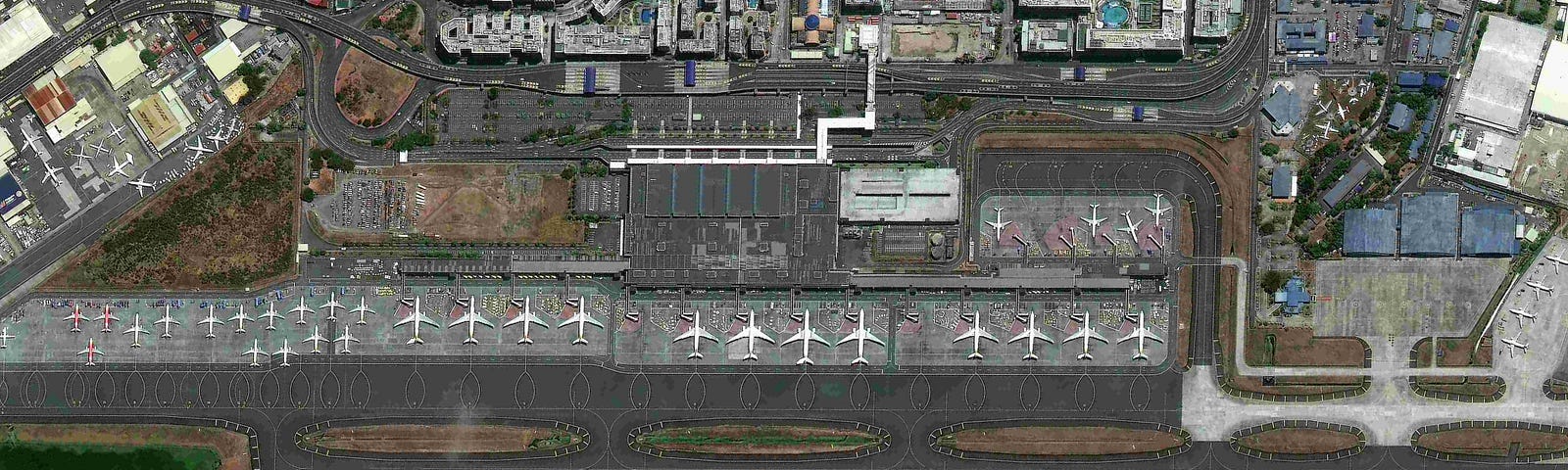
Soar is a cutting edge mapping platform that can integrate multiple resolution imagery feeds from satellite, aerial sensors as well as crowd-sourced drone content.
More information
Followers
373
Elsewhere
More, on Medium
Remote Working
Darren Smith
in
Soar
Dec 1, 2020
How to choose satellite imagery on Soar
Soar
is a geospatial data delivery portal providing satellite, drone, and map imagery for
…
Read more…
12