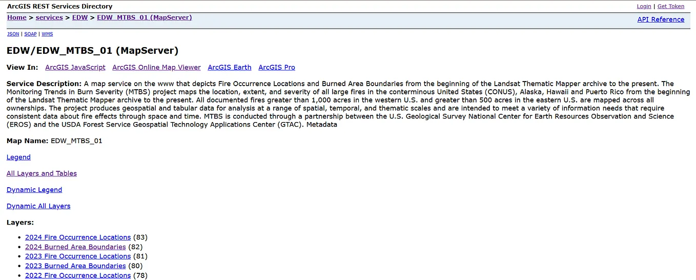
Yanan WuGet Data using ArcGIS Server Services Directory REST APIThe ArcGIS Server Services Directory REST API is a web-based interface that allows users to interact with and access geographic services…3d ago
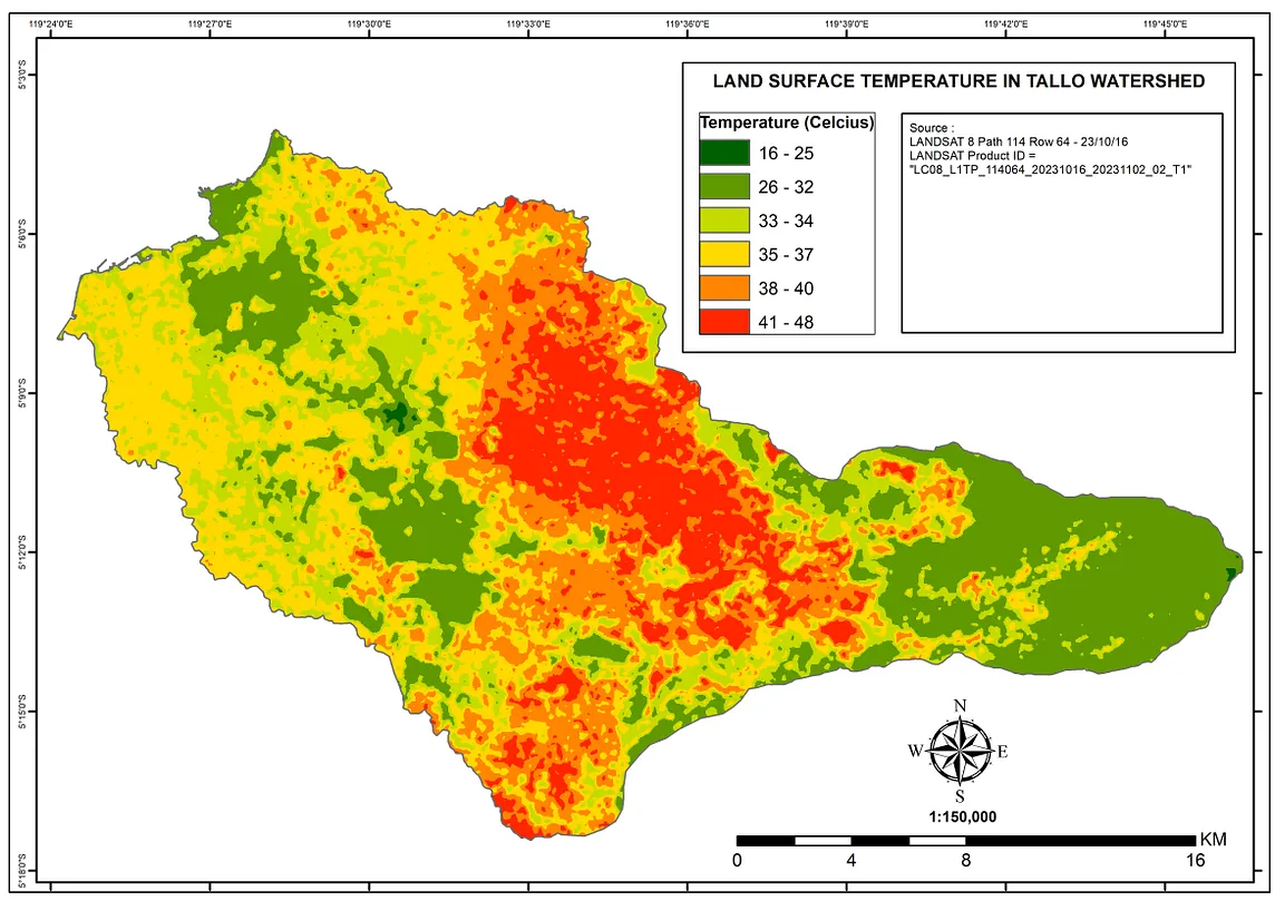
Riski SaputraMapping Land Surface Temperature (LST) using Landsat-8 Imagery in ArcMAPLand Surface Temperature (LST) refers to the temperature of the Earth’s surface as measured from above. It’s a crucial parameter in…Apr 91
Anirudh K MahantMastering Angular with ESRI Maps: Custom Interactions, Challenges & SolutionsESRI (Environmental Systems Research Institute) is the pinnacle of the GIS industry. Since 1969, it has been a one-stop solution for…Nov 171Nov 171
Yanan WuGet Data using ArcGIS Server Services Directory REST APIThe ArcGIS Server Services Directory REST API is a web-based interface that allows users to interact with and access geographic services…3d ago
Riski SaputraMapping Land Surface Temperature (LST) using Landsat-8 Imagery in ArcMAPLand Surface Temperature (LST) refers to the temperature of the Earth’s surface as measured from above. It’s a crucial parameter in…Apr 91
Anirudh K MahantMastering Angular with ESRI Maps: Custom Interactions, Challenges & SolutionsESRI (Environmental Systems Research Institute) is the pinnacle of the GIS industry. Since 1969, it has been a one-stop solution for…Nov 171
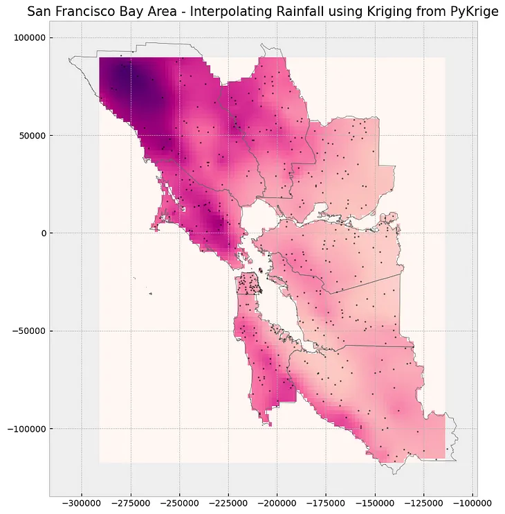
InGeoinfomaticsbyGeoSense ✅Spatial InterpolationImplement spatial interpolation using Python exclusively, without relying on ArcGIS software.Aug 31
Tome JovanovskiExploring GeoAI: Harnessing Pre-trained Deep Learning Models for Urban Insights in ArcGISIntroductionNov 15
Rutwik RoutuArcGIS Pro vs QGIS : Everything you need to know 🌎Geographic Information Systems (GIS) are essential tools for professionals in various fields, from urban planning to environmental…Sep 13, 2023