LaurayuanAchieving High-Accuracy Drone Mapping: GCPs vs. RTK vs. PPKAccuracy is essential in drone mapping, photogrammetry, and aerial surveying. While the Global Navigation Satellite System (GNSS)…Jun 4
SurveygyaanLongitudinal and Cross SectioningSurveying is a crucial aspect of civil engineering and construction projects, providing accurate measurements and data for planning…Jun 9, 2023
NomokoinNomokoFundamentals of accuracy for 3D Digital Twins from drone imagesHow is drone data acquired for the creation of 3D digital twins and what accuracy can be expected?Mar 3, 2023Mar 3, 2023
SurveygyaanIBM Drone Survey SOP — Rules for carrying out Drone SurveyThe Government released several sets of instructions to allow the operation of UAV drones called the Standard Operating Procedures (SOP)…Jan 16, 2023Jan 16, 2023
SurveygyaanIBM Drone Survey SOP — Output Data SubmissionStandard Operating Procedure (SOP) addresses guidelines for the drone pilot to follow during flight, pre-flight and post-flight procedures…Jan 30, 2023Jan 30, 2023
LaurayuanAchieving High-Accuracy Drone Mapping: GCPs vs. RTK vs. PPKAccuracy is essential in drone mapping, photogrammetry, and aerial surveying. While the Global Navigation Satellite System (GNSS)…Jun 4
SurveygyaanLongitudinal and Cross SectioningSurveying is a crucial aspect of civil engineering and construction projects, providing accurate measurements and data for planning…Jun 9, 2023
NomokoinNomokoFundamentals of accuracy for 3D Digital Twins from drone imagesHow is drone data acquired for the creation of 3D digital twins and what accuracy can be expected?Mar 3, 2023
SurveygyaanIBM Drone Survey SOP — Rules for carrying out Drone SurveyThe Government released several sets of instructions to allow the operation of UAV drones called the Standard Operating Procedures (SOP)…Jan 16, 2023
SurveygyaanIBM Drone Survey SOP — Output Data SubmissionStandard Operating Procedure (SOP) addresses guidelines for the drone pilot to follow during flight, pre-flight and post-flight procedures…Jan 30, 2023
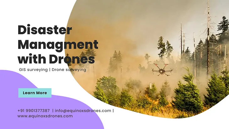
EQUINOX’S DRONESApplication of Geoinformatics in Disaster ManagementDisasters, both natural and human-made, have devastating consequences on communities and infrastructure worldwide. Effective disaster…Jul 7, 2023
SurveygyaanIBM Drone Survey SOP — IntroductionMining is the extraction of valuable minerals or other geological materials from the earth. The profitable substances that are mined from…Jan 7, 2023