InTierra InsightsbyStephen Chege4 Top Spatial Machine Learning Algorithms You Should Learn In 2025Machine learning algorithms are transforming the way we process and understand spatial data as geospatial analysis develops. This article…2d ago
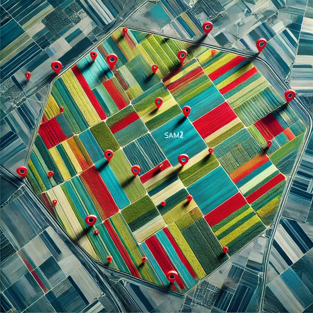
InTowards Data SciencebyMahyar Aboutalebi, Ph.D. 🎓Field Boundary Detection in Satellite Imagery Using the SAM2 ModelStep-by-Step Tutorial on Applying Segment Anything Model Version 2 to Satellite Imagery for Detecting and Exporting Field Boundaries in…Nov 1510
Aleksei Rozanov6 python libraries to make beautiful mapsAt some point any Data Scientist faces the need to analyze or model geo spatial data, and it can’t be done without the crucial visual part…Feb 1014Feb 1014
Leonardo de MeloOptimizing Geospatial Computations: A Comparative Study of Rust and Python Integration for…Leonardo de Melo 2024, specialist fullstack software engineer.2d ago2d ago
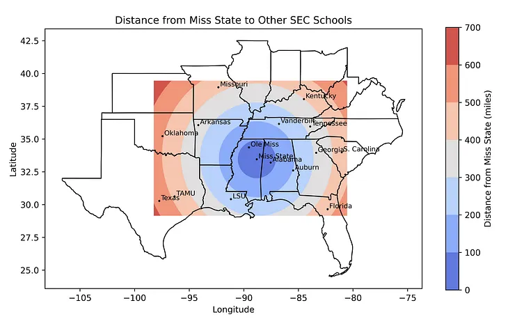
InTowards Data SciencebyLee VaughanHow to Make Proximity Maps with PythonGeopy’s great circle methodOct 304Oct 304
InTierra InsightsbyStephen Chege4 Top Spatial Machine Learning Algorithms You Should Learn In 2025Machine learning algorithms are transforming the way we process and understand spatial data as geospatial analysis develops. This article…2d ago
InTowards Data SciencebyMahyar Aboutalebi, Ph.D. 🎓Field Boundary Detection in Satellite Imagery Using the SAM2 ModelStep-by-Step Tutorial on Applying Segment Anything Model Version 2 to Satellite Imagery for Detecting and Exporting Field Boundaries in…Nov 1510
Aleksei Rozanov6 python libraries to make beautiful mapsAt some point any Data Scientist faces the need to analyze or model geo spatial data, and it can’t be done without the crucial visual part…Feb 1014
Leonardo de MeloOptimizing Geospatial Computations: A Comparative Study of Rust and Python Integration for…Leonardo de Melo 2024, specialist fullstack software engineer.2d ago
InTowards Data SciencebyLee VaughanHow to Make Proximity Maps with PythonGeopy’s great circle methodOct 304
LAWRENCE KIMUTAIThe Future of Geospatial Technologies: Shaping Our World with Code and DataThe world is increasingly dependent on spatial awareness — knowing where things happen, understanding how places change over time, and…Oct 302
Nuno CarvalhoGIS in VueJS : I tested Leaflet GeomanDiscover how to build a geolocation app using VueJS with Leaflet, Pinia for store management and Leaflet Geoman.3d ago
InPython in Plain EnglishbyLee VaughanCraft a Geospatial Infographic with GeoplotMapping wolf populations in AmericaOct 211