InGeoSensesbyGeoSense ✅Extracting Data from Raster and CSV Files with RastericExtracting Data from Raster FilesNov 28
InTowards Data SciencebyLee VaughanPrecisely Compare Geographical Regions with GeoPandasFilling maps with area measurementsOct 83
InTowards Data SciencebyLee VaughanComparing Country Sizes with GeoPandasHow to project, shift, and rotate geospatial dataJun 25Jun 25
Cristina Varas MenadasReconstructing Incomplete Shapefiles with PythonShapefiles are a common geospatial vector data format used in Geographic Information Systems (GIS) software. A complete shapefile dataset…May 19May 19
InSnowflake Builders Blog: Data Engineers, App Developers, AI/ML, & Data SciencebyDaria RostovtsevaLoad Shapefiles Into Snowflake — The Easy WayBackgroundJun 5, 20231Jun 5, 20231
InGeoSensesbyGeoSense ✅Extracting Data from Raster and CSV Files with RastericExtracting Data from Raster FilesNov 28
InTowards Data SciencebyLee VaughanPrecisely Compare Geographical Regions with GeoPandasFilling maps with area measurementsOct 83
InTowards Data SciencebyLee VaughanComparing Country Sizes with GeoPandasHow to project, shift, and rotate geospatial dataJun 25
Cristina Varas MenadasReconstructing Incomplete Shapefiles with PythonShapefiles are a common geospatial vector data format used in Geographic Information Systems (GIS) software. A complete shapefile dataset…May 19
InSnowflake Builders Blog: Data Engineers, App Developers, AI/ML, & Data SciencebyDaria RostovtsevaLoad Shapefiles Into Snowflake — The Easy WayBackgroundJun 5, 20231
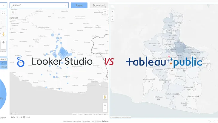
Argo Wahyu Utomo (Arguto)Looker Studio vs Tableau Public: Visualizing Kecamatan Boundaries in Spatial DashboardsIn the intricate world of data visualization, accurately displaying spatial data poses a common challenge. My recent project involved…Feb 28
John R. BallesterosShapefiles to GPSA step by step guide to upload point, line and polygon custom layers to a Garmin GPSMay 24, 2023
Stephen ChegeCREATING A SHAPEFILE IN AWS.Creating a GIS shapefile using AWS involves leveraging AWS services such as Amazon Simple Storage Service (S3) to store the shapefile data…Feb 17