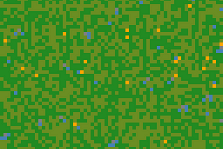
Aleksei RozanovinThe PythoneersSimulating Wildfires in a Forest🔥Using only numpy and matplotlib🐍12h ago12h ago
Aleksei Rozanov5 Python Features to Make Your Code More AdvancedEnhance your python🐍 skills2d ago2d ago
Aleksei RozanovinTowards Data ScienceErasing Clouds from Satellite Imagery Using GANs (Generative Adversarial Networks)Building GANs from scratch in pythonJun 15Jun 15
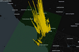
Aleksei RozanovinTowards Data ScienceLA Crime: Now in 3D (No Glasses Required)Visualizing crime geodata in pythonJun 1Jun 1
Aleksei RozanovinTowards Data ScienceHow to Create Your Own CV Dataset Using Satellite Imagery: Wildfires from SpaceCollecting images to train CNNsMay 95May 95
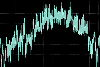
Aleksei RozanovinTowards Data ScienceYou’ve Got a Time Series. Now What?How to do exploratory data analysis of a time seriesApr 205Apr 205
Aleksei RozanovinTowards Data Science3 Best Methods for Spatial InterpolationFrom scratch, in PythonApr 96Apr 96
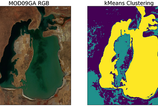
Aleksei RozanovinTowards Data ScienceSemantic Segmentation of Remote Sensing Imagery using k-MeansFrom scratch in python🐍Mar 143Mar 143
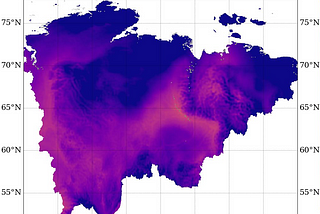
Aleksei RozanovHow can a sea disappear? Case study of the Aral Sea using Python and MODIS data.Let’s create a timelapse and check if it’s true!Mar 6Mar 6
Aleksei RozanovWeather And Climate Data For A Data Science Project. Where to take?Temperature and precipitation time series are extremely popular in many Data Science projects and tutorials, however it’s often unclear…Feb 23Feb 23