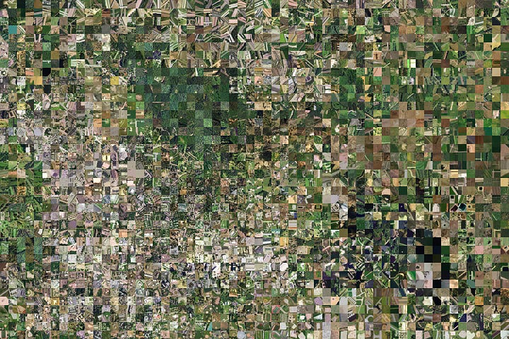
Today we’re excited to share three new satellite imagery-based maps of the earth, made here at Descartes Labs. These are global composite images constructed using data from the Landsat 8, Sentinel-2A…
Today, we’re unveiling a technology demonstration of machine learning at global scale, which we call GeoVisual Search. This release makes the global composite images we released last month a bit smarter.
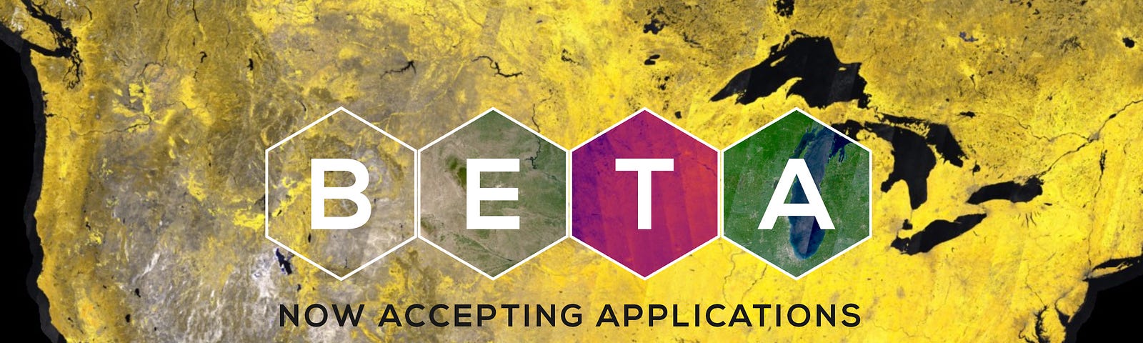
About 15 months ago, Descartes Labs entered beta to gather feedback from customers on our progress toward developing an advanced platform for global-scale…