Homepage
Open in app
Sign in
Get started
Deep Learning
GIS
Remote Sensing
About Us
Tagged in
Machine Learning
Preligens Stories
Get updated on Preligens’ latest news. Follow us on Linkedin :
https://www.linkedin.com/company/preligens
More information
Followers
437
Elsewhere
More, on Medium
Machine Learning
Marie-Caroline Corbineau
in
Preligens Stories
Jun 20, 2022
Making the most out of dataset visualization in an industrial context
Read more…
145
Thomas Sitbon
in
Preligens Stories
Jun 20, 2022
How to use GIS for Machine Learning
In our 2 previous amazing articles :
Read more…
160
Matthieu Limbert
in
Preligens Stories
Nov 17, 2019
Boosting object detection performance through ensembling on satellite imagery
How image analysts and…
Read more…
513
1 response
Thierry Golder
in
Preligens Stories
Oct 10, 2019
Super-resolution for satellite imagery analysis
How image analysts and object detection algorithms can…
Read more…
315
Renaud ALLIOUX
in
Preligens Stories
Feb 26, 2019
How to use deep learning on satellite imagery — Playing with the loss function
Read more…
506
2 responses
Renaud ALLIOUX
in
Preligens Stories
Dec 3, 2018
How not to test your deep learning algorithm?
An application to object recognition on satellite imagery
Read more…
272
1 response
Renaud ALLIOUX
in
Preligens Stories
Sep 12, 2018
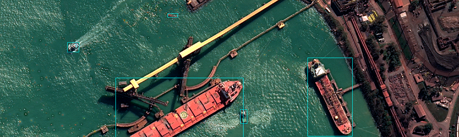
How hard is it for an AI to detect ships on satellite images?
Using hard mining and multires…
Read more…
828
4 responses
Renaud ALLIOUX
in
Preligens Stories
Jul 23, 2018
AI products and remote sensing: yes, it is hard and yes, you need a good infra.
By the way, data…
Read more…
201
Earthcube
in
Preligens Stories
Mar 28, 2018
Get the full (satellite) picture!
Using very high-resolution images to train deep neural networks
Read more…
301