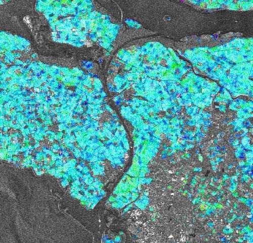
Satellite imagery is becoming an increasingly important tool for farmers and decision-making authorities everywhere…
The purpose of the current study is to simulate conditions and phenomena such as specular reflections and soil roughness that are encountered when airborne or satellite…