Do you analyze Remote Sensing imagery for your work?
Do you need to perform GIS analysis in your professional/educational life?
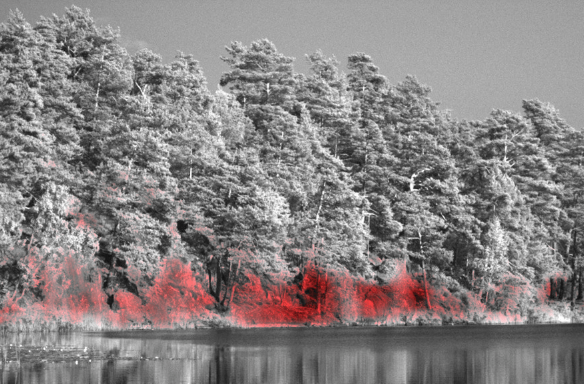
The most common images contain the three bands of the visible to the human eye spectrum: Red…
Day by day, loads of datasets are added in the Earth Observation imagery archive, introducing more opportunities and higher potential in the resilience and adaptability of the remote sensing domain. One of the operations…