Homepage
Open in app
Sign in
Get started
Tagged in
Satellite Imagery
Geodesic
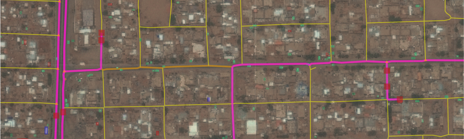
Techniques for turning remote sensing imagery into routing information.
More information
Followers
37
More, on Medium
Satellite Imagery
Adam Van Etten
in
Geodesic
Dec 21, 2021
From Pixels to Pathways
Announcing Geodesic Labs
Read more…
28