Homepage
Open in app
Geospatial Intelligence
Sign in
Get started
Tagged in
Python
Geospatial Intelligence
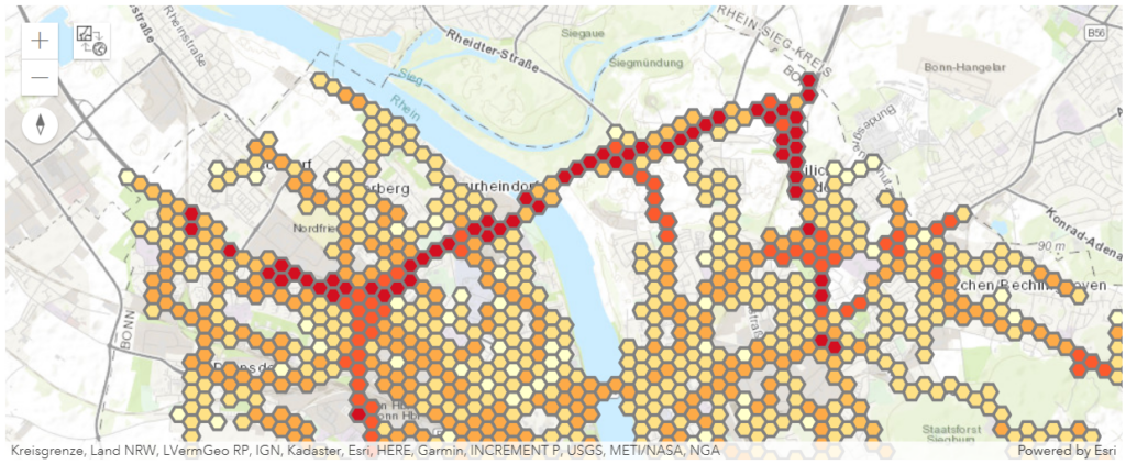
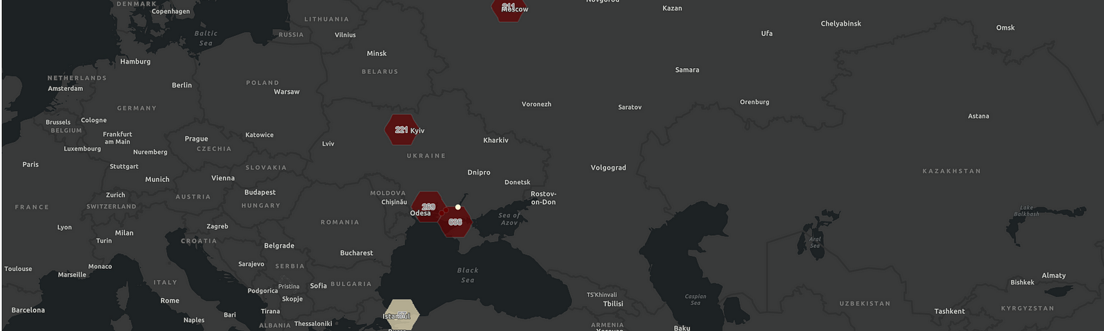
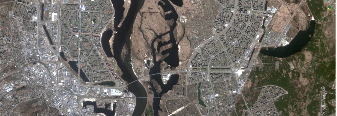
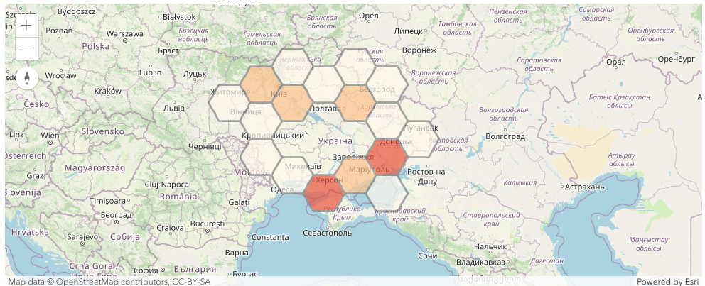
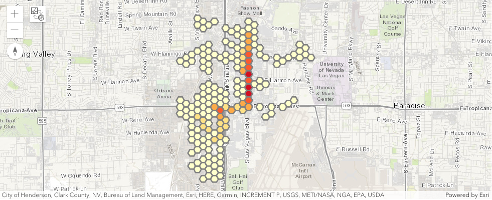
Geospatial Intelligence was, is and will be one of the most important intelligence disciplines. By analyzing geospatial information an analyst is empowered to gain insights into various aspects of human activities.
More information
Followers
110
Elsewhere
More, on Medium
Python
Jan Tschada
in
Geospatial Intelligence
Mar 22
Urban Traffic Simulation of the Super Bowl LVIII in Las Vegas
Read more…
1
Jan Tschada
in
Geospatial Intelligence
Jan 16
Using simulated agents of urban regions in Germany
Read more…
51
Jan Tschada
in
Geospatial Intelligence
Nov 5, 2023
An agent-based case study for urban digital twins
Read more…
69
Jan Tschada
in
Geospatial Intelligence
Nov 1, 2023
Unlocking Spatial Data Science with Python: A Seamless Journey into ArcGIS
Read more…
21
Jan Tschada
in
Geospatial Intelligence
Jul 23, 2023
Detecting the flooding of Kherson using broadcasted news related to natural disasters
Read more…
1
Jan Tschada
in
Geospatial Intelligence
May 21, 2023
Preparing a technical session about Spatial Data Science
Read more…
2
Jan Tschada
in
Geospatial Intelligence
May 19, 2023
Explore Corine Land Cover dataset
The Corine Land Cover dataset is a valuable resource for anyone interested in spatial data science…
Read more…
32
Jan Tschada
in
Geospatial Intelligence
Apr 1, 2023
Imagery intelligence from a developer's point of view
Read more…
1
Jan Tschada
in
Geospatial Intelligence
Feb 26, 2023
Mapping the armed conflicts events of 24th February 2022
Read more…
6
1 response