Tagged in
Satellite Imagery
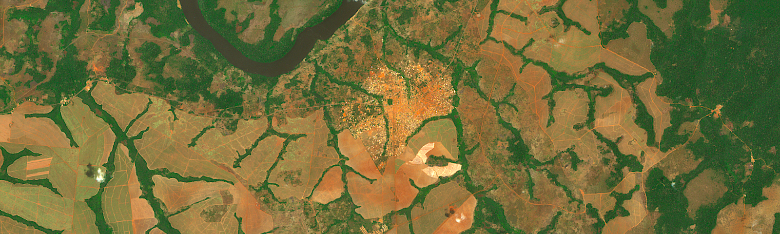
Project Canopy
Project Canopy advances evidence-based policy making for the Congo Basin rainforest by providing environmental actors with the data, analytics and tools they need to end deforestation and defaunation.
More informationFollowers
More, on Medium