Homepage
Open in app
Sign in
Get started
Tagged in
Geospatial
Geodesic
Techniques for turning remote sensing imagery into routing information.
More information
Followers
37
More, on Medium
Geospatial
Adam Van Etten
in
Geodesic
May 10, 2022
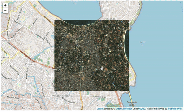
Serving up SpaceNet Imagery for Bokeh
A lightweight codebase for building a local tile server for…
Read more…
7