Homepage
Open in app
Sign in
Get started
QGIS
WebGIS
Leaflet
PostGIS
OPENSOURCE
UAVs&Drones
ABOUT
Tagged in
Dronebox
MAPEDIA BLOG
Sharing ideas, stories, and tech updates
More information
Followers
204
Elsewhere
More, on Medium
Dronebox
Chingchai Hoomhong
in
MAPEDIA BLOG
Sep 4, 2023
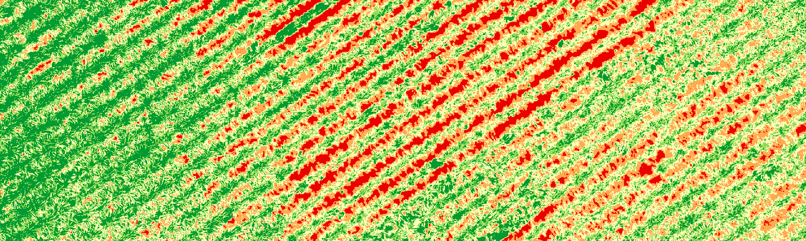
การตรวจสอบสุขภาพพืชด้วยคำนวณหาค่าดัชนีพืชพรรณจากข้อมูลภาพโดรนด้วยโปรแกรม QGIS (Part 2)
Read more…
16
Chingchai Hoomhong
in
MAPEDIA BLOG
Jul 21, 2023
การตรวจสอบสุขภาพพืชด้วยคำนวณหาค่าดัชนีพืชพรรณจากข้อมูลภาพโดรนด้วยโปรแกรม QGIS (Part 1)
Read more…
52
thanawat.mnk
in
MAPEDIA BLOG
Jul 6, 2023
มาทำความรู้จัก Dronexif สมาชิกใหม่ล่าสุดของ Dronebox
Read more…
10
Chingchai Hoomhong
in
MAPEDIA BLOG
Feb 2, 2023
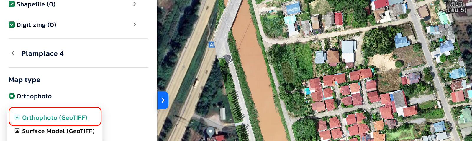
การปรับข้อมูลภาพโดรนให้อยู่ในรูปแบบ Cloud Optimized GeoTIFF (COG)
Read more…
1