Archive of stories published by Soar


These were the top 10 stories published by Soar; you can also dive into yearly archives: 2018, 2019, 2020, and 2021.
About
Soar
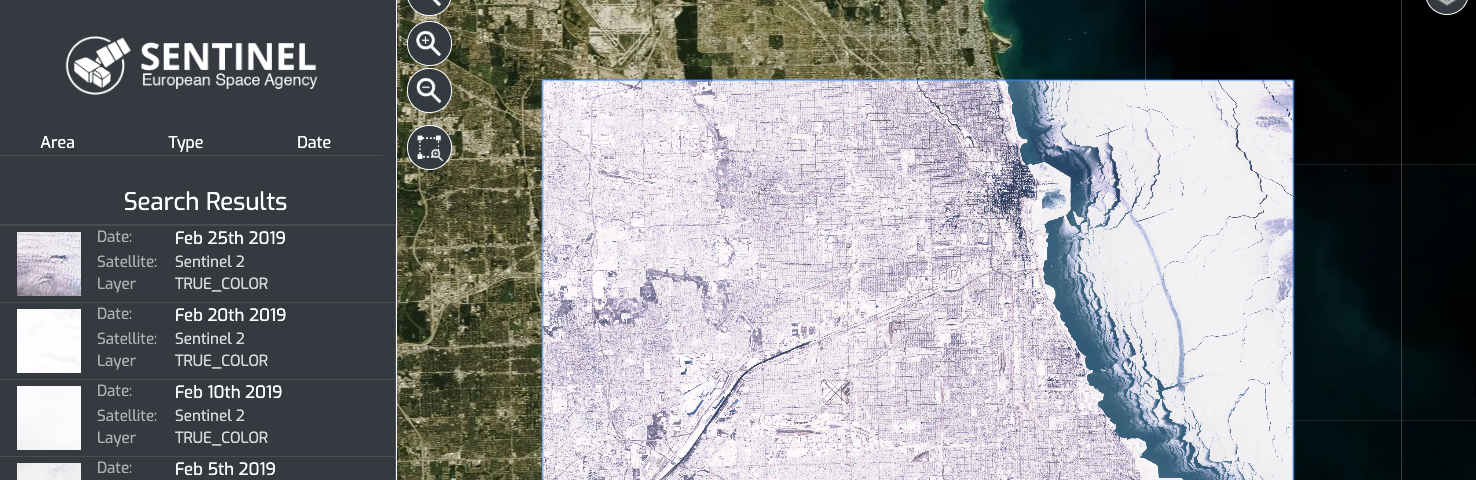
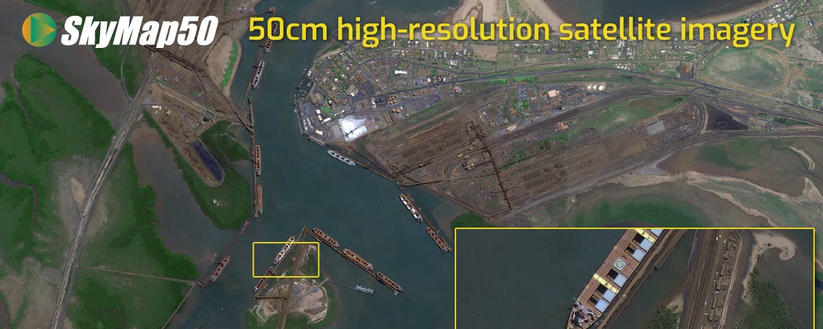
Soar is a cutting edge mapping platform that can integrate multiple resolution imagery feeds from satellite, aerial sensors as well as crowd-sourced drone content.
More informationTags
Editors