Tagged in

Satellite Technology

Soar
Soar
Soar is a cutting edge mapping platform that can integrate multiple resolution imagery feeds from satellite, aerial sensors as well as crowd-sourced drone content.
More information
Followers
370
Elsewhere
More, on Medium

How to choose satellite imagery on Soar

Soar is a geospatial data delivery portal providing satellite, drone, and map imagery for


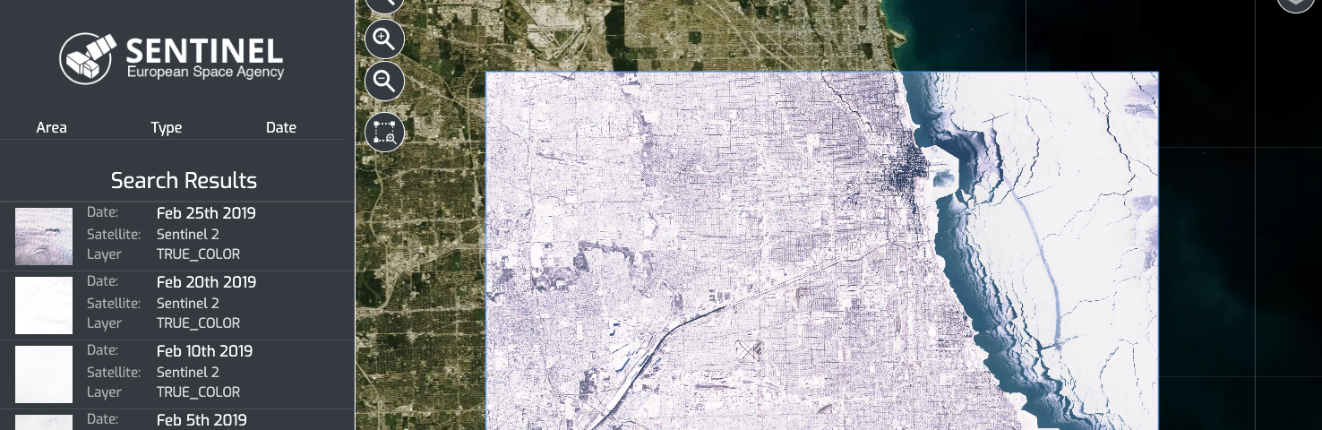
Innovative mapping companies sign MOU to integrate satellite imagery

Soar has entered into a partnership with Europe-based companies Sinergise, and it’s regional reseller Geospatial Enabling Technologies to distribute various satellite imagery feeds through its decentralised…