Homepage
Open in app
Sign in
Get started
Top Stories published by Soar in October of 2019
All
2019
October
Sort by most read
Colby James
in
Soar
Oct 21, 2019
How to use Soar’s FREE satellite imagery feeds (inc. video tutorial)
Read more…
2
Colby James
in
Soar
Oct 14, 2019
Soar’s Local Props — Abandoned buildings and drone photography with Nathalie from Urbex with Sancta
Read more…
1
Eric van Rees
in
Soar
Oct 8, 2019
How Drones Can Optimize Surveying and Mapping Projects
Read more…
36
Eric van Rees
in
Soar
Oct 23, 2019
How drones compliment agriculture
Andrew Dedman is Director and Operations Manager at Stratus Imaging…
Read more…
Soar
in
Soar
Oct 13, 2019
Soar #DiscoverYourEarth Competition Winners
Soar held a worldwide image competition for drone pilots…
Read more…
7
Rack Digital
in
Soar
Oct 27, 2019
Meet Seba — One of Soar’s Top Drone Photo Contributors
Seba has only just started his voyage in the…
Read more…
24
Soar
in
Soar
Oct 30, 2019
Introducing Soar+
Dynamic, on-demand sharing of your maps and imagery
Read more…
September 2019
November 2019
About
Soar
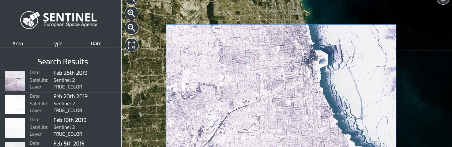
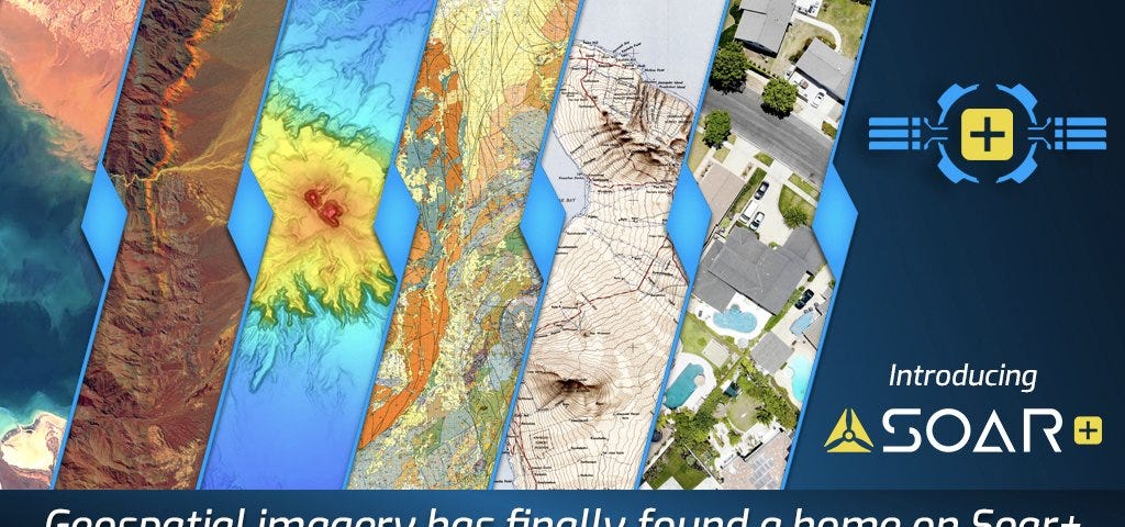
Soar is a cutting edge mapping platform that can integrate multiple resolution imagery feeds from satellite, aerial sensors as well as crowd-sourced drone content.
More information
Tags
Aerial Imaging Services
Satellite Imagery
Blockchain
Geospatial
GIS
Drones
Competition
Aerial Photography
Drone Photography
Soar
Editors
Dan Anderson
Christopher Lowe
Darren Smith
Soar Admin
Soar
Colby James
Writers
Darren Smith
Glenn Maslen
Neil Prentice
Eric van Rees
Soar
Josh
Colby James
Michael Pearce