Homepage
Open in app
Sign in
Get started
Archive
soar.earth
Tagged in
Drone Mapping
Soar
Soar is a cutting edge mapping platform that can integrate multiple resolution imagery feeds from satellite, aerial sensors as well as crowd-sourced drone content.
More information
Followers
370
Elsewhere
More, on Medium
Drone Mapping
Eric van Rees
in
Soar
Oct 8, 2019
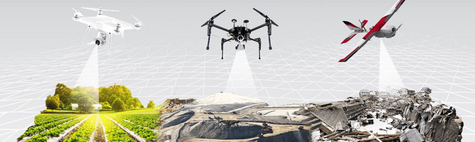
How Drones Can Optimize Surveying and Mapping Projects
Read more…
36