
Flash Flooding, Record Rainfall in New England and the Northeast
A LOT of rain has fallen in New England and the Northeast since June 1, especially last month, leading to LOTS of flash flooding, damage and rainfall-related records.
Three state capitals — Montpelier in Vermont, Hartford in Connecticut and Albany in New York — plus Mount Washington in New Hampshire had their wettest Julys on record.
The wet month in most of the Northeast “featured multiple rounds of extreme precipitation and flash flooding,” the Northeast Regional Climate Center says. Most of the region was also warmer than normal, most notably in much of Maine. Caribou, in the far north, had its “all-time warmest month on record.”
The first six months of 2023 were also on the wet side in four of the six New England states: New Hampshire, Maine, Vermont and Rhode Island. They all had above-average precipitation, according to the National Centers for Environmental Information.
So, what can we look forward to in August? Most of the Northeast may be wetter than normal and cooler than normal, according to NOAA Climate Prediction Center outlooks.
And maybe a tropical cyclone or its remnants will dump torrential rain on the region, causing catastrophic flooding, like Tropical Storm Irene did in 2011. The Atlantic hurricane season peaks on Sept. 10 and runs through November, with most of the action taking place between mid-August and mid-October, the National Hurricane Center says.
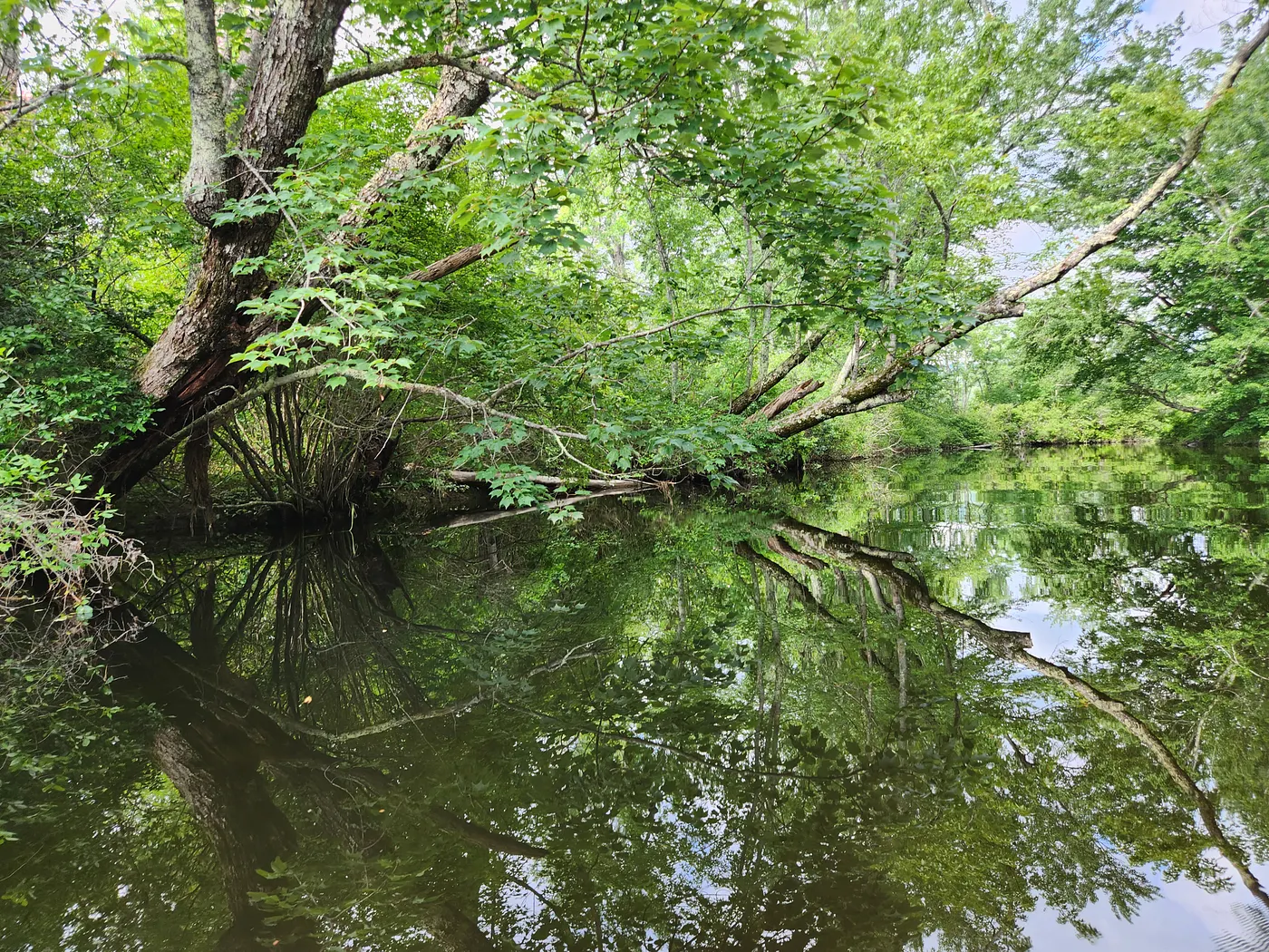
Story: “Flash Flooding Threat for New England”
Here are more weather and climate highlights, flooding facts that focus on New England and the Northeast, and some climate change-related research on extreme precipitation in recent decades and this century:
— July precipitation totaled 17.08 inches at the 6,288-foot summit of Mount Washington in New Hampshire. That broke the previous record of 16.85 inches in 1996, according to the Mount Washington Observatory. Last month’s total is 8-plus inches higher than average. Records date back to 1932.
— Eight inches of snow fell on Mount Washington in June, making it the snowiest June there since 1932, according to the National Centers for Environmental Information.
— July rainfall totaled 21.42 inches in Conway, Massachusetts. That’s the highest total in the U.S., Canada and Puerto Rico from @CoCoRaHS (Community Collaborative Rain, Hail and Snow Network) observers, the National Weather Service Boston/Norton office tweeted. Other top 5 totals are 19.51 inches and 19.34 inches from other Conway observers, 18.93 inches in Northampton, Massachusetts, and 17.63 inches in Cornwall, Connecticut.
— Boston had its wettest July 29 (3.07 inches of rain) since 1872 and its fifth wettest July day on record, according to the National Weather Service Boston/Norton office.
— A balloon recorded a record amount of water vapor in the atmosphere on July 16, the weather service office that covers New Hampshire and western Maine says. “This is why flood watches are in effect for the region due to a high risk of flash floods today.”
— Much of the Northeast received more than double normal rainfall during the first 16 days of July. Multiple areas received more than three times the norm, according to the Northeast Regional Climate Center. “Both Vermont and southeastern New York saw devastating flooding, with a rare flash flood emergency issued for a few areas, signifying a dangerous, life-threatening situation.” The Winooski River at Montpelier, for example, crested at 21.35 feet, its second highest level since record-keeping began in the early 1900s, according to preliminary data. Floodwaters inundated roads and buildings and trapped people, with more than 100 rescues in Vermont.
Story: Soggy, Cool Summer in New England
— The Northeast River Forecast Center has summaries of historic floods, including a devastating 1936 flood, in the region that covers New England and most of New York state. In 1936, heavy rain and melting snow caused flooding throughout New England. Ice jams and breaks led to severe damage, according to the center. Most of New England faced a combination of rainfall and snowmelt that exceeded 10 inches over two weeks. The estimated peak total: nearly 30 inches.
— “The Northeast has seen a greater recent increase in extreme precipitation than any other region in the United States,” the U.S. Climate Resilience Toolkit says. “Very heavy” precipitation events (the top 1 percent of daily events) in the region increased by more than 70 percent between 1958 and 2010. “The frequency of these heavy downpours is projected to continue to increase over the remainder of the century.”
— Extreme precipitation events (at least 1.5 inches of heavy rainfall or melted snowfall in a day) in the Northeast are projected to increase by 52 percent by the end of the 21st century, according to a Dartmouth College news release that sums up recent research. The “projected increases in extreme precipitation are strongly related to increasing precipitable water over the eastern USA and the Atlantic Ocean,” the study says.
— “The Northeast has seen an increase in the number and intensity of extreme rainfall events, and these recent episodes fall in line with what is expected in a warming world,” according to the Northeast Regional Climate Center. “Evaporation increases with rising temperatures, leading to more water vapor in the air that can produce heavier precipitation when conditions are favorable. This trend of more frequent and intense rainfall events is expected to continue in the future.”
— “Simply put, precipitation amounts are increasing as temperatures rise because warm air holds more water vapor,” the National Centers for Environmental Information says. A 1 degree Fahrenheit rise in temperature results in an up to 4 percent increase in water vapor in the atmosphere. Other factors can contribute to rainfall, including El Niño and La Niña. Temperatures have climbed more than 3 degrees since 1900 in New Hampshire, for example, according to a national centers report released last year.
More images, including 30 of my recent photos in New Hampshire:


Subscribe to my NH EnviroGuy blog via email: https://medium.com/subscribe/@tbbates16
More of my blog posts, aka stories, and some have many photos taken in New Hampshire:
— Smoke from Wildfires in Nova Scotia is Over New England, and More Record Heat is Possible
— Superstorm Sandy: 10th Anniversary Memories and Images
— Hurricanes and Tropical Storms in New England, With the Chances of Them Coming Within 50 Miles
— 1821 Hurricane Slammed U.S. East Coast
— Hurricane Ian Stats and Images, New England Cold and Drought Update in the Northeast
— Mid-Spring Weather, Climate and Snowfall Update for New England
— Hebron Town Forest: Photos on a Beautiful Day in New Hampshire
— New England Weather and Climate Update, With Snowfall Totals and Spring Outlook
— Record Warmth in Much of New England (and Some Record Cold) in January-February 2023
— Guide to Snowfall Forecast Maps for New England, With Other Snow Information and Photos
— Snow Forecast Maps for This Week’s “Major Nor’easter” Off New England
— Extreme Snowfall in New England Led by Mount Washington in N.H.
— Snowfall Maps Show Major Shortfalls in Northeast and Great Lakes States in Recent Winters
— Memories of the “Crippling” Blizzard of February 1978 in the Northeast
— Snowfall Totals for the 2022–23 Season in the Eastern U.S.
— New England Spring Climate Highlights and 2021–22 Seasonal Snowfall Totals
— New England Average Snowfall Map: Are You Ready for Winter?
— Newfound Lake Photos After Rainfall and Another Winter Storm This Week
— Colorful Sunrise and Sunset Photos at Newfound Lake in New Hampshire
— Photos of Peaking Fall Foliage in New Hampshire (Part One)
— Photos of Peak Fall Foliage in New Hampshire (Part Two)
— Fall Foliage Photos in New Hampshire (Part Three)
— New Hampshire Fall Foliage Photos (Part Four)
— Photos of Emerging Fall Foliage in New Hampshire, September 2022
— Photos of Serene, Remote Cranberry Lake in Adirondack Park, New York
— Photos at Serene, Colorful Lees Pond in Moultonborough, New Hampshire
— Photos: Autumn Colors and Water Scenery in New Hampshire
— Photos on the Trail: Colorful Fall Foliage in New Hampshire
— Snow Shortage Persists in Much of the East
— Third Warmest Winter on Record in the Contiguous U.S.
— Scenic New Hampshire Photos This Winter
— Three Historic October Storms in the Northeast, This Month’s Climate Outlook and September Recap
— Nor’easter Winds Gust to 94 mph in Massachusetts, Higher than Superstorm Sandy in New Jersey
